Module 5 · Landform
Topography
Earthworks with purpose
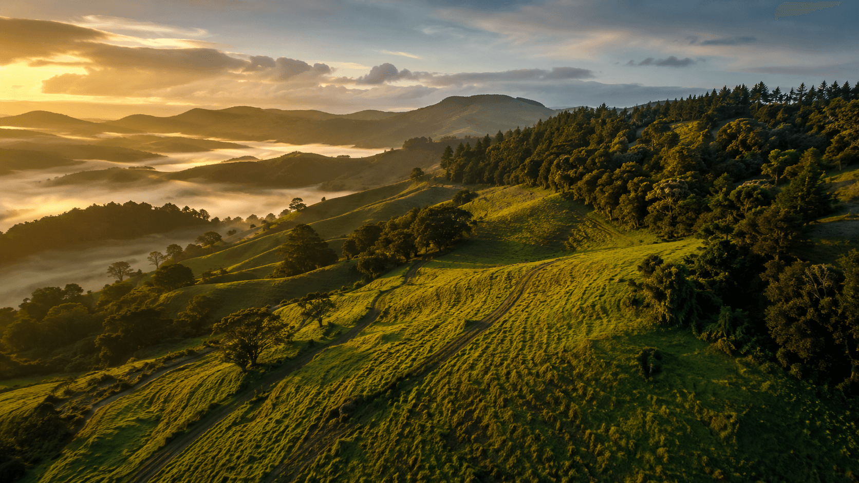
Topography is one of the dominant factors determining what your land can produce. In the southern hemisphere a gentle north-facing slope is often ideal, maximising sunlight while allowing water drainage, frost movement, and nutrient transfer between zones. Contour lines close together mean steep ground. Lines wide apart mean gentle ground. Aspect, the compass direction a slope faces, drives sun exposure, drying rate, and which crops or buildings will thrive.
North-facing slopes in New Zealand warm faster and dry sooner. South-facing slopes stay moist longer and suit different plantings. Steeper country suits tree crops that stabilise soil. Flatter land suits intensive gardens or dairy but carries flooding risk. Two blocks of identical size can run on almost different calendars once aspect is accounted for: different frost dates, different drying times, different crops that actually thrive, all from which way the ground happens to face. Map contour carefully: reading contour is reading water's instruction manual, showing where flow accelerates, where it pools, and where minimal earthwork harvests thousands of litres instead of exporting erosion.
Design swales on contour to intercept overland flow, sized to soak rather than erode. Ponds need clay or liner and often require consent under regional rules. Contour swales on a Northland slope must respect clay soils and cyclone rainfall. Not every hill needs earthworks. The permaculture instinct remains: move earth only where it regenerates catchment function, not for appearance alone.
Hand contour mapping and LINZ topographic data give you accurate ground to work from. LENZ (Land Environments of New Zealand) classifies environments by climate, landform, and soil, which is useful for both production and biodiversity decisions beyond what a satellite photo alone shows. GIS overlays help analyse erosion risk, habitat corridors, and farm infrastructure without guessing from a single walkover.
Drones can capture orthophotos and elevation models for base maps on lifestyle blocks, within Civil Aviation Authority rules, but they never replace walking the land after rain. Frost drainage on slope matters as much as water harvesting. Cold air flows downhill like water and pools in hollows, so topography links directly to planting choices, building pads, and access routes that stay usable in wet New Zealand winters.
Contour and aspect are the skeleton everything else in your design hangs off. Enrolled learners produce a topography sketch tied directly into their water and access plans, so slope stops being scenery and starts doing structural work in the portfolio.
This page is a self-contained module summary for visitors who are not yet enrolled. Subscribe for quizzes, forums, design tasks, theme guides, and portfolio coaching across the full course.