Module 18 · Capstone
Final Portfolio
Integrate, refine, and submit
The Permaculture Design Certificate centres on a design project applying course theory to a detailed system on real land. Most learners design a food-production system showing how interconnected elements create fertile, productive outcomes, but the same method applies to enterprises, social projects, or life plans. A certified portfolio built from a Hokianga hillside looks nothing like one built from a Tāmaki Makaurau back section, and that is exactly the point: it is proof that observation, analysis, and design form one unbroken thread grounded in your place, not a template applied to it.
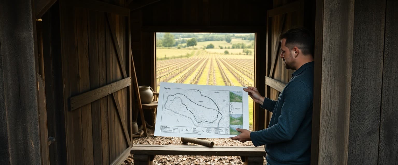
Regenerative outcomes require elements to interact so system health improves over time, not just outputs in year one. The portfolio structure mirrors classic permaculture reports: introduction and context, site analysis, base maps, sector analysis, concept sketches, final plan, and implementation phasing. Every map, plan, and enterprise proposal must share the same site boundary, north arrow, and scale bar. Inconsistency across layers is one of the fastest ways to lose facilitator confidence. The strongest portfolios rarely carry the most technical detail. They carry the discipline of one boundary line and one scale bar used consistently from the first site visit to the final design, a standard most submissions quietly fail.
Weave one narrative that moves from site context through observation, analysis, concept, detailed design, phasing, and enterprise. Cite your data sources explicitly and consistently: LINZ for cadastral boundaries, S-map for soil classification, NIWA for climate. Translate the ethics into visible evidence. Show where Earth Care, People Care, and Fair Share appear in actual design decisions rather than as a decorative opening paragraph.
Document every peer feedback exchange. Record what you received, what you changed, and where you chose not to change something and why. Name your regenerative outcome indicators early so they are trackable from day one: percentage of bare soil, macroinvertebrate signs in waterways, canopy cover, household food weeks, or enterprise cash-flow milestones. Facilitators check for place-based rigour, phased realism, documented peer engagement, and a complete evidence trail.
A learner on a four-hectare lifestyle block near Kerikeri submitted overlaid water, soil, and habitat maps that all shared the same hand-drawn boundary and scale bar, then showed how enterprise and dwelling decisions followed from those layers. Water, soil, habitat, zone, and enterprise layers must cross-reference each other so a reader can follow the logic without guessing. Professional presentation standards matter: legible fonts, consistent legends, captioned photographs, and section numbers that match the brief.
This is where seventeen modules either come together as one coherent argument or stay seventeen separate assignments. Facilitators reviewing your submission are checking whether the maps, narrative, and logic all follow from the site conditions you documented back in module 4. Read this page as the brief for that final synthesis, before you start assembling it.
This page is a self-contained module summary for visitors who are not yet enrolled. Subscribe for quizzes, forums, design tasks, theme guides, and portfolio coaching across the full course.